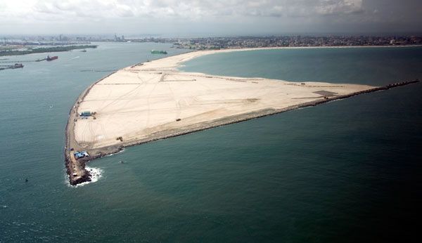
Satellite photo of Eko Atlantic in Lagos
The land reclaimed from the sea for the major Eko Atlantic development in Lagos can be seen in a photograph taken by a US satellite orbiting some 650 km above the Earth's atmosphere.
The high-resolution image, which was captured in early January, gives a clear indication of the progress and enormous scale of the coastal reclamation along Bar Beach on Victoria Island.
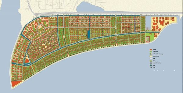
The massive project involves reclaiming some 10 square km of land and building a mix of residential, commercial, financial and tourist accommodation. Besides providing much-needed accommodation and office space, the project also aims to restore the land lost to coastal erosion over the last 60 years and provide a permanent solution to the problem. The Lagos coastline is now partially restored to where it was about a century ago.
So far some four million sqm of land has been reclaimed from the Atlantic Ocean by the China Communications Construction Company (CCCC) Group, and the land is protected by a sea-revetment known as The Great Wall of Lagos. The three-km long wall, which is still under construction and is currently nearing the halfway stage, is designed to protect Eko Atlantic and the low-lying Victoria Island from ocean waves.
Developers are billing Eko Atlantic as Africa’s leading investment opportunity for residential and commercial activities, and when complete will provide homes for 250,000 people and workplaces for another 150,000.
However the project has been criticised by local residents who claim that the construction works have caused coastal erosion and flooding in residential areas. Last August 2012 an ocean surge swept 16 people into the sea, killing several people and flooding Kuramo Beach, Victoria Island and other nearby areas.


